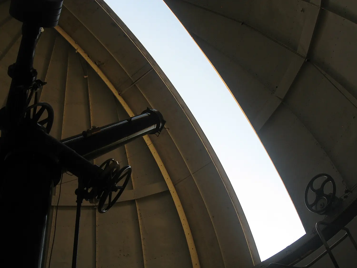
 Chile astronomical observatory
National Astronomical Observatory
An astronomical observatory in Chile, and the real sky above it tonight.
Calculating the sky…
Drag to turn round. Stars from the HYG catalogue; glow and horizon from the light model and the terrain.
The place
National Astronomical Observatory.
Observatory in Chile
National Astronomical Observatory is an astronomical observatory in Chile, 860 m above the sea.
Its usual sky, with no Moon or clouds, is estimated at 17.90 mag/arcsec² — Bortle 8, city sky: the naked eye reaches stars of magnitude 3.9.
The nearest town of over 50,000 people is 7 km away.
The best months are from February to March: long dark nights and clearer skies.
The core of the Milky Way rises up to 86° above the horizon, and is up during the dark hours from February to October.
The relief hides 7% of the sky; the highest point of the horizon is 11° up, to the east.
Visit and sleep under the stars
- Visiting the observatoryMany observatories open for guided nights or open days: check the official site.
- área de campamento Valle Suizocampsite · 7.9 km · 5 within 10 km
- Hotel Acacias de Vitacuraplace to stay · 1.9 km · 221 within 10 km
- Ñuñoanearest town · 7.1 km in a straight line
- Comodoro Arturo Merino Benítez International Airport (SCL)nearest airport with scheduled flights · 23 km in a straight lineCar hire at SCL airport (Santiago)Discover Cars · sponsored link↗
Plan the night
A guided night, a bed nearby, a car.
Some links above are affiliate links: if you book through them we may earn a commission, at no extra cost to you. It never changes what the data on this page says.
The usual sky here
Bortle 8.
The sky is orange or white; you can read by it; only the brightest stars show.
Our own rating, from verifiable data only: sky brightness (60 points), clear nights (25), open horizon (10) and altitude (5).
- 1Excellent dark sky≥ 21.89 · stars to mag 7.6
- 2Truly dark sky21.69–21.89 · stars to mag 7.1
- 3Rural sky21.25–21.69 · stars to mag 6.6
- 4Rural–suburban transition20.49–21.25 · stars to mag 6.1
- 5Suburban sky19.50–20.49 · stars to mag 5.6
- 6Bright suburban sky18.94–19.50 · stars to mag 5.1
- 7Suburban–urban transition18.38–18.94 · stars to mag 4.6
- 8City sky17.80–18.38 · stars to mag 4.1 You are here
- 9Inner-city sky< 17.80 · stars to mag 3.6
- 17.90Sky brightnessmag/arcsec² at the zenith — 21.9 is a natural sky
- 3.9Faintest starthe faintest magnitude the naked eye can see here
- 7 kmNearest big townover 50,000 people, in a straight line
- 860 mAltitudeabove the sea: less air and haze above you
- 93%Open skyof the half-sphere the relief leaves visible
Where the light comes from
The brightest glow on the horizon comes from Santiago, 12 km to the south-west.
Each wedge is how much artificial light arrives from that direction (10° slices).
An estimate of the usual sky with no Moon and no clouds, from NASA's night-lights map and a light-propagation model (about ±0.3 mag). A given night depends on the Moon, the clouds, dust and humidity.
When to go
Best from February to March.
Hours of truly dark night, hours with the core of the Milky Way up, how often the sky is clear and the coldest night, month by month.
- 6.5h68%16°Jan
- 7.7h69%16°Feb
- 8.8h64%14°Mar
- 9.8h48%11°Apr
- 11h30%8°May
- 11h26%5°Jun
- 11h26%4°Jul
- 10h28%5°Aug
- 9.3h32%7°Sep
- 8.3h36%9°Oct
- 7.0h52%12°Nov
- 6.3h63%14°Dec
- Dark night (hours)
- Milky Way core up
- Clear sky
- Coldest night
- Best months
The Moon, night by night
A bright Moon washes out the faint stars. The highlighted nights are the dark ones (less than a quarter lit); below, the next new moons.
- 9 Nov2026
- 9 Dec2026
- 7 Jan2027
- 6 Feb2027
- 8 Mar2027
- 6 Apr2027
Night: Sun more than 18° below the horizon. Milky Way: the galactic centre more than 10° up during that night. Clear sky: 100 − NASA cloud amount (2001–2020). Coldest: average minimum brought to this altitude.
What happens in this sky
Meteors, eclipses, auroras.
Meteor showers
The next twelve months. The rate is what a dark sky shows with the radiant at its highest here; the Moon decides the rest.
- Orionidspeak 21 Oct 2026 · up to 13 meteors an hourMoon 74% lit at the peak
- Leonidspeak 17 Nov 2026 · up to 9 meteors an hourMoon 48% lit at the peak
- Geminidspeak 14 Dec 2026 · up to 60 meteors an hourMoon 23% lit at the peak
- Lyridspeak 22 Apr 2027 · up to 7 meteors an hourMoon 98% lit at the peak
- Eta Aquariidspeak 6 May 2027 · up to 42 meteors an hourMoon 0% lit at the peak
- Southern Delta Aquariidspeak 30 Jul 2027 · up to 24 meteors an hourMoon 14% lit at the peak
Eclipses
Lunar eclipses visible from here, and solar eclipses whose path crosses this country.
- Partial lunar eclipse12 january 2028Moon 33° up at mid-eclipse · 53 min
- Total lunar eclipse26 june 2029Moon 70° up at mid-eclipse · 101 min
- Annular solar eclipse6 february 2027the path crosses this country — check the exact line before you go
Meteor dates: International Meteor Organization peaks. Lunar eclipses: computed (J. Meeus) and shown only when the Moon is above this horizon. Solar eclipses: Eclipse Predictions by Fred Espenak, NASA/GSFC (country on the path).
The horizon
360° around you.
The silhouette of the relief up to 30 km away (Copernicus DEM), with the light domes of the towns where they rise. Mountains are drawn taller than they are, to be seen.
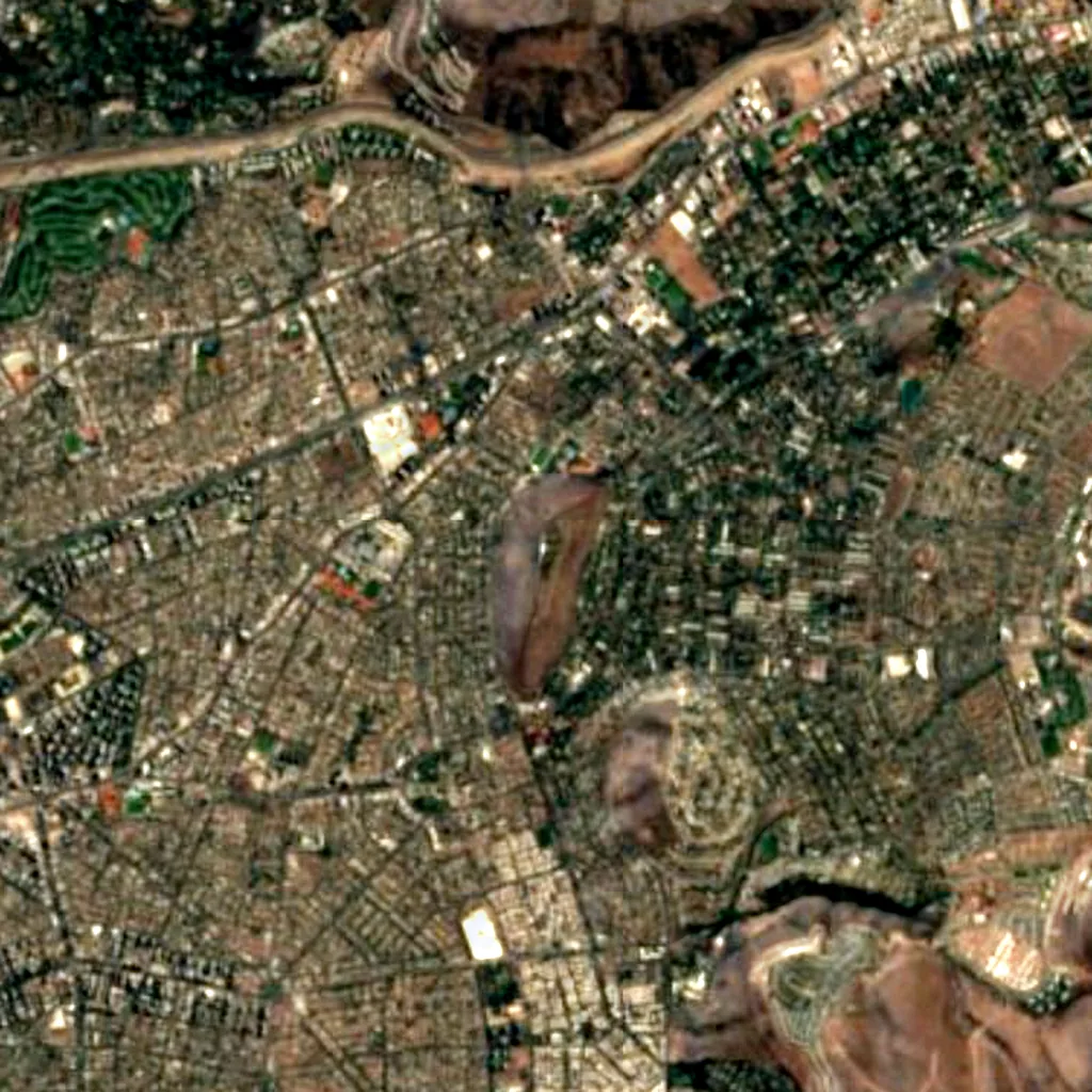
Around, in OpenStreetMap
- 10observatories and planetariums within 30 kmMirador Copernicus, Observatorio UC, Planetario and 7 more
- 26viewpoints within 5 kmPiedra Rajada, Mirador Altas Cumbres, Mirador de la Roca and 23 more
- 11named peaks within 5 kmCerro Calán, Cerro Alvarado, Cerro Apoquindo and 8 more
- 2marked trails within 3 kmSendero a Salto de Apoquindo, Sendero Bulnes Correa-Morro Las Papas
- 4shelters and huts within 5 km
- 152car parks within 3 km
- 5campsites within 10 kmárea de campamento Valle Suizo, Camping Vallecito, Baños de la Cal and 2 more
- 221places to stay within 10 kmHotel Acacias de Vitacura, Best Western Premier Marina, Hotel Park Inn and 218 more
- 6visitor centres within 5 kmOficina Central Parque Cordillera, Administración Parque Cordillera San Carlos de Apoquindo, Punto de Información Ambiental and 3 more
- 537restaurants and cafés within 5 km
- street lamps mapped within 2 km
Counted in OpenStreetMap, the map anyone can edit. A low number may just mean nobody has mapped it yet.
In our other atlases
Around it, by day.
The mountain, island, lake, beach or canyon this place is, and what else is nearby in the family's atlases.
 Peakyas70 mountains within 25 km
 Cascadyas1 waterfalls within 15 km
Figures from the sister sites' databases (Wikidata, HydroATLAS, GeoNames, OpenStreetMap). Links open when each site is online.
Photographs
By day and by night.

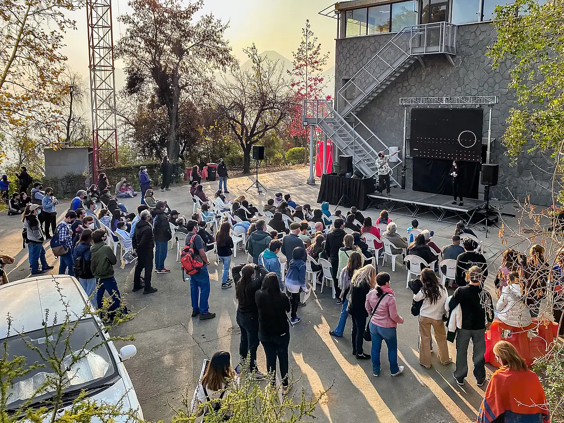
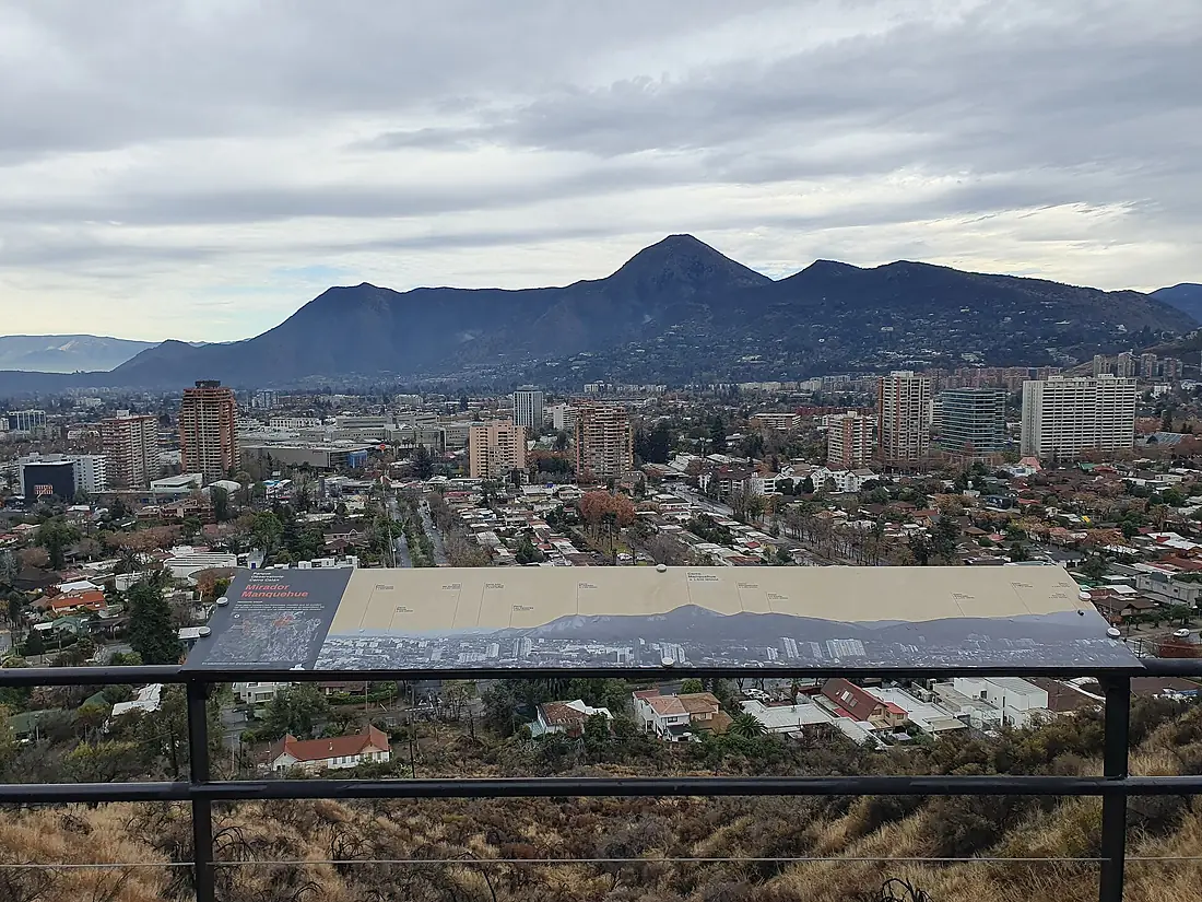
Other skies nearby.
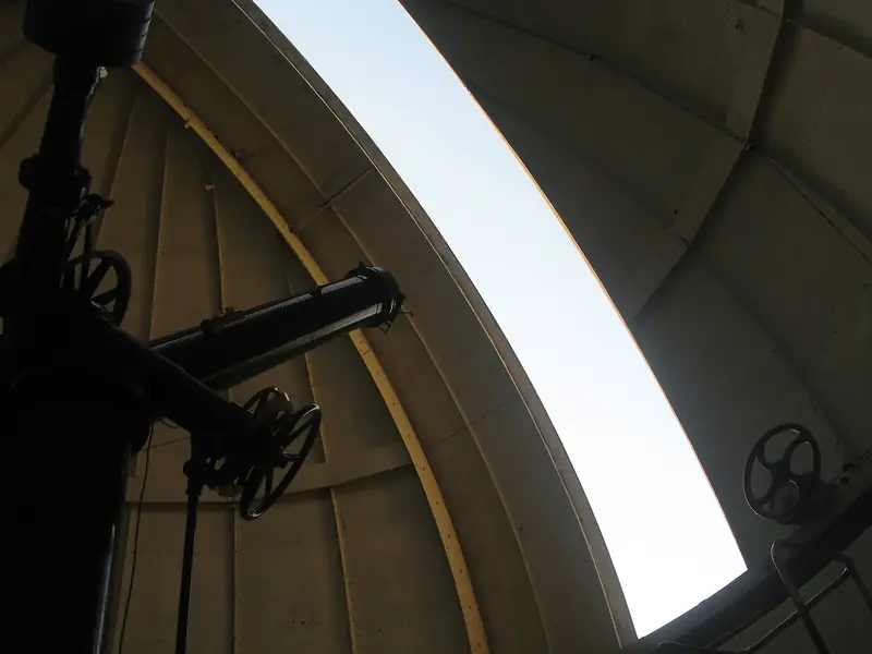
National Astronomical Observatory
Chile
- 32Darkskyas Score
- 17.90Sky brightness
- 8Bortle
- 860 mAltitude
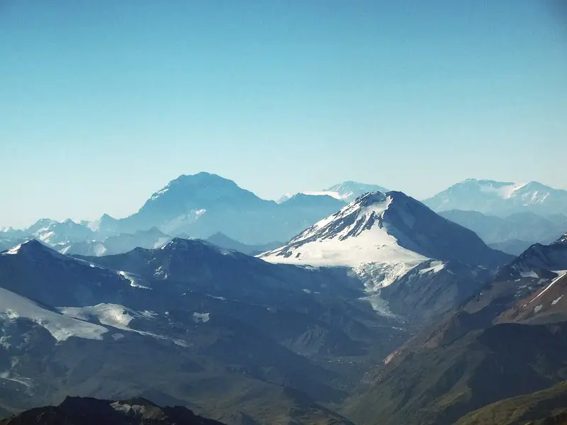
Tupungato Volcano
Argentina · 71 km
- 86Darkskyas Score
- 21.85Sky brightness
- 2Bortle
- 6,635 mAltitude
Where these figures come from
| Name, type, certification | Wikidata (Q5811531) · CC0 |
|---|---|
| Sky brightness | NASA Earth Observatory, Black Marble 2016 (Suomi NPP VIIRS) · Darkskyas light model (Walker's law, fitted to 18 measured sites) |
| Night, Moon, Milky Way, stars | J. Meeus, Astronomical Algorithms · HYG v4.4 · Stellarium modern_iau (CC BY-SA 4.0) |
| Horizon and altitude | Copernicus DEM GLO-90 / GLO-30 · © DLR e.V., © Airbus Defence and Space GmbH, Copernicus/ESA |
| Clouds and temperature | NASA POWER (CERES SYN1deg, 2001–2020; MERRA-2) |
| Solar eclipses | Eclipse Predictions by Fred Espenak, NASA/GSFC |
| What is around | © OpenStreetMap contributors · ODbL |
| Images | EOX Sentinel-2 cloudless 2016 · CC BY 4.0; Wikimedia Commons |
| Sister atlases | Peakyas, Cascadyas |
Every figure is an average, an estimate or a count from a public dataset. Licences and methods: data sources.
The family
Do you prefer beaches, lakes, mountains, waterfalls, islands, rivers, canyons, caves, dark skies, viewpoints, birdwatching or forests?
Same idea, other landscapes: field atlases built on open data, in seven languages.
 beaches
 Find your beach: sea temperature, sun and swimming month by month.Visit
  lakes
lakes Every lake on Earth: water temperature, ice, depth and the shore.Visit mountains
 Every summit in 3D: summit weather, the 0 °C line, huts and trails.Visit waterfalls
 Every waterfall: height, flow month by month and when it roars.Visit
  islands
 Every island from the sea up: size, sea temperature, ferries and 3D.Visit
  rivers
 Every river from source to sea: the journey, the flow and the basin in numbers.Visit
  canyons
 Every canyon cut to scale: depth to the floor, rim and floor temperatures, trails and viewpoints.Visit
  caves
caves Every cave with its real depth and length: the rock above, the temperature inside all year, and how to visit.Visit
  dark skies
 Where the night is still dark: the sky of every place, the Milky Way month by month, the Moon, eclipses and auroras.You are here
 viewpoints
 Every viewpoint with its real 360° panorama: the peaks you can name, how far you see and where the sun sets.Coming soonVisit
  birdwatching
 Every bird sanctuary and wetland with the species recorded month by month: who is resident, who comes for the summer, who only passes through.Coming soonVisit
  forests
 Every forest with its land-cover rings, what grows and lives in it, and the best months to walk it.Coming soonVisit